

Overview: The Protected Wildlife Sanctuary of St. Thomas
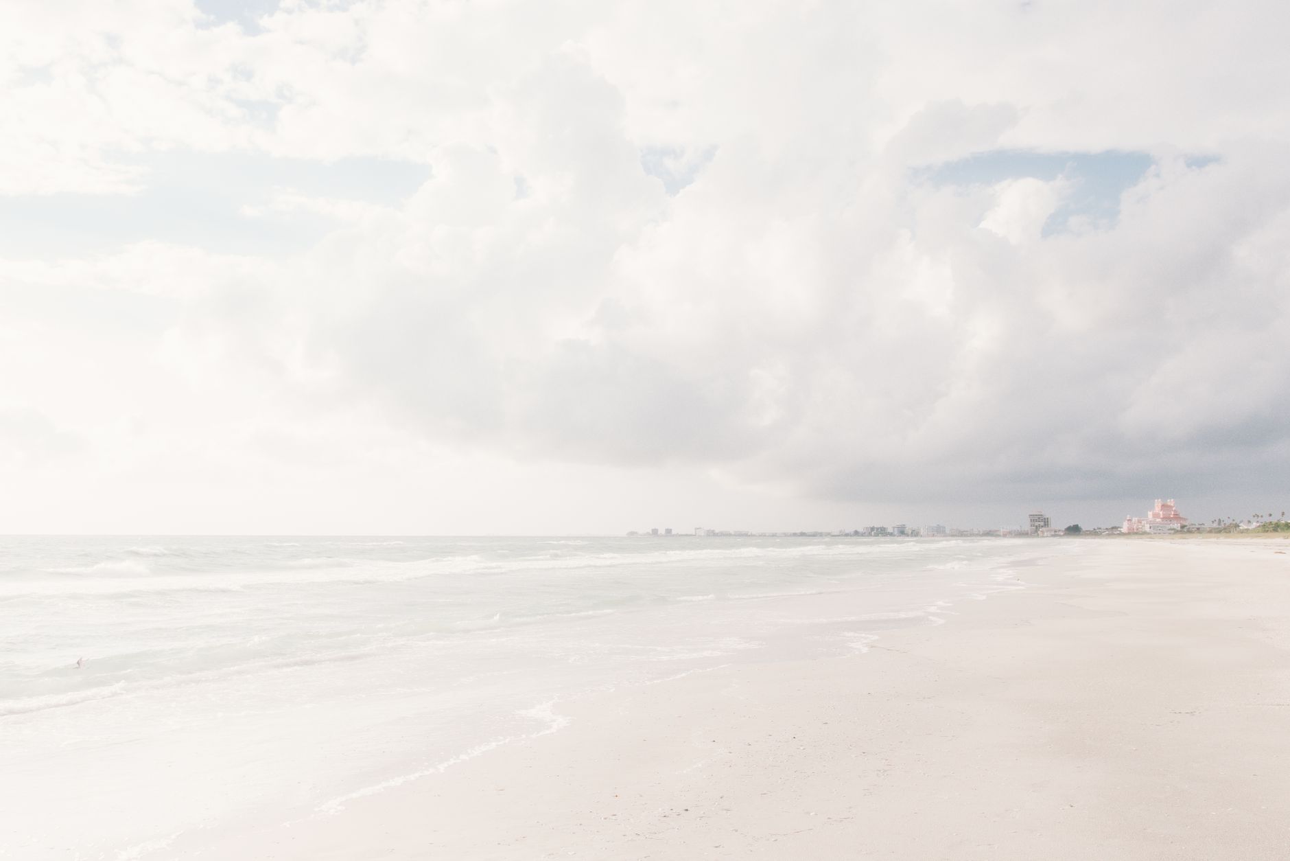
Rising dramatically from the cobalt Caribbean Sea approximately 3.2 kilometers (2 nautical miles) south of Charlotte Amalie harbor, Buck Island National Wildlife Refuge (18.2789° N, -64.8972° W) is celebrated as the premier marine wildlife sanctuary in the U.S. Virgin Islands. (Note: This offshore sanctuary fronting St. Thomas is distinct from National Park Service Buck Island Reef National Monument located on nearby St. Croix).
Transferred to the U.S. Fish and Wildlife Service (USFWS) in 1969 to preserve its vital maritime habitats, the protected waters on the leeward northern flank of the island form a world-renowned marine amphitheater known as Turtle Cove. Here, sheltered from heavy Atlantic ocean swells, a tranquil underwater prairie of lush Turtle Grass (Thalassia testudinum) and shallow coral patch reefs provides an idyllic year-round sanctuary for wild Green Sea Turtles (Chelonia mydas) and critically endangered Hawksbill Turtles (Eretmochelys imbricata) .
Turtle Cove boasts an independently confirmed 97% sighting probability year-round. Just 200 meters across the cove from the turtle pastures lies another Caribbean legend: the submerged 190-foot steel shipwreck of the Cartanza Senora, resting on the white sand in 10 to 12 meters of crystal-clear water. Sailing catamarans and eco-charters departing from Charlotte Amalie, Crown Bay, and Frenchman’s Cove offer unforgettable excursions combining close-up turtle encounters with historic shipwreck exploration.

St. Thomas: Turtle Cove Snorkel & Sail Catamaran Excursion
Top-rated 3.5-hour sailing catamaran cruise to Buck Island Turtle Cove and shipwreck with snorkel gear, open bar, and snacks.
Marine Biology: The Seagrass Pasture & Shipwreck Ecosystem
The vibrant marine life at Buck Island is powered by the pristine condition of its benthic habitats, protected from coastal runoff and commercial fishing pressure:
   [ Surface Water (Catamaran Mooring Zone) ] ~~~~~~~~~~~~~~~~~~~~~~~~~~~~~~~~~~~~~~~
                                              │ (10-Foot / 3-Meter USFWS Buffer)
                                              ▼
   [ Benthic Seagrass Beds ]                 🐢 [Green Sea Turtles (Chelonia mydas)]
   (Depth: 2.5m - 5.0m)                       │ Grazing on Thalassia & Syringodium
                                              ▼
   [ Cartanza Senora Steel Wreck ]           🚢 190ft Sunken Freighter (Hawksbills & Rays)
1. The Seagrass Meadow Dynamics (Chelonia mydas)
Inside Turtle Cove, vast submarine prairies of Turtle Grass (Thalassia testudinum) and slender Manatee Grass (Syringodium filiforme) blanket the shallow seabed. Resident Green sea turtles cruise across the sandy floor, tilting downward at a 45-degree angle to crop the carbohydrate-rich basal shoots of the grass blades. Because these turtles have been protected within the federal wildlife refuge for decades, they are completely unbothered by peaceful surface snorkelers, frequently swimming within feet of observers as they ascend gracefully to the surface to breathe.
2. The Cartanza Senora Artificial Reef (Eretmochelys imbricata)
Originally built in 1927, the Cartanza Senora was a 190-foot steel-hulled cargo freighter that carried agricultural cargo (and illicit contraband during the 1970s) before being abandoned and scuttled in 1979 as an artificial reef in Shipwreck Cove on Buck Island’s western flank.
- Marine Architecture: Rusted iron cargo holds, open companionways, and giant propeller shafts encrusted with brain coral (Diploria), star coral (Montastraea), and colorful tube sponges.
- Wildlife: Foraging Hawksbill sea turtles, curious Southern Stingrays (Hypanus americanus), Great Barracudas (Sphyraena barracuda), and schools of French Grunts and Blue Tangs.
Bathymetric Depth Profile & Topography
TURTLE COVE SHALLOWS     SEAGRASS FORAGING FLATS  PATCH CORAL HEADS        CARTANZA SENORA WRECK
[2.0m - 3.5m]            [3.5m - 5.5m]            [5.0m - 8.0m]            [9.0m - 12.0m]
      │                        │                        │                        │
  🌱 Shallow Grass Beds    🌱 Core Grazing Pasture  🪸 Brain Corals          🚢 190ft Sunken Freighter
    Calm Mooring Basin       Green Turtles (97%)      Cleaner Wrasses          Hawksbill Foraging
    Family Friendly          Stingrays                Yellowtail Snapper       Free-Dive Swim-Throughs
Depth Breakdown:
| Zone | Depth Range | Seabed Morphology | Dominant Wildlife | Snorkel Experience |
|---|---|---|---|---|
| Inner Turtle Cove Shallows | 2.0 – 3.5 m (7 – 11 ft) | Sheltered white sand basin carpeted with Thalassia seagrass | Foraging juvenile and sub-adult Green Turtles, Southern Stingrays | Prime Snorkel Zone. Extremely calm, crystal-clear water; turtles easily seen grazing just below you. |
| Mid-Cove Mooring Basin | 3.5 – 5.5 m (11 – 18 ft) | Expansive sand and seagrass pasture where catamaran moorings are installed | Large adult Green turtles (150–250 lbs), remoras, flying gurnards | Effortless floating; turtles ascend smoothly through the water column to breathe right beside snorkelers. |
| Patch Coral Pinnacle Reef | 5.0 – 8.0 m (16 – 26 ft) | Submerged coral heads encrusted with sea fans and brain corals | French Angelfish, Queen Triggerfish, Banded Coral Shrimp | Excellent intermediate snorkeling; vibrant fish life and active cleaning stations. |
| The Cartanza Senora Wreck | 9.0 – 12.0 m (30 – 40 ft) | 190-foot broken steel freighter hull resting upright on white sand | Hawksbill turtles, Great Barracudas, Southern Stingrays, Moray Eels | World-Class Wreck Snorkel. Crystal 25m visibility allows full panoramic views of the ship from the surface. |
ASCII Boat Mooring & Snorkel Route Map: Buck Island (St. Thomas)
+=============================================================================================+
|                      BUCK ISLAND NATIONAL REFUGE (ST. THOMAS) - MAP                         |
+=============================================================================================+
|                                                                                             |
|                           CARIBBEAN SEA (OPEN OCEAN CHANNEL)                                |
|                                                                                             |
|   ~ ~ ~ ~ ~ ~ ~ ~ ~ ~ ~ ~ ~ ~ ~ ~ ~ ~ ~ ~ ~ ~ ~ ~ ~ ~ ~ ~ ~ ~ ~ ~ ~ ~ ~ ~ ~ ~ ~ ~ ~ ~ ~ ~   |
|   =======================================================================================   |
|   [ SHIPWRECK COVE: THE CARTANZA SENORA (190ft Sunken Freighter - 10m to 12m Depth) ]       |
|   =======================================================================================   |
|                                             │                                               |
|                                             ▼                                               |
|   .......................................................................................   |
|   :  [WEST CORAL PINNACLES]       |   [CENTRAL SEAGRASS PASTURE]   |  [EAST ROCKY SHORE]    :   |
|   :  🪸 (Brain Corals & Sea Fans) |   🐢 [Green Turtles Grazing]   |  🪨 (Lighthouse Bluff) :   |
|   :  🐟 (Hawksbills Feeding)      |   🌱 (Thalassia Meadow: 3.5m)  |  🐦 (Nesting Seabirds) :   |
|   :...............................|................................|........................:   |
|                                   |                                |                        |
|   --------------------------------+                                +---------------------   |
|   |         [TURTLE COVE MOORING BASIN (Depth: 2.5m to 5.0m)]                           |   |
|   |         * Authorized USFWS / DPNR commercial mooring balls only                     |   |
|   |         * High concentration of wild Green Turtles grazing peacefully               |   |
|   ---------------------------------------------------------------------------------------   |
|                                                                                             |
|   ░░░░░░░░░░░░░░░░░░░░░░░░░░░░░░░░░░░░░░░░░░░░░░░░░░░░░░░░░░░░░░░░░░░░░░░░░░░░░░░░░░░░░░░   |
|   |                 [LEEWARD SHELTERED ANCHORAGE & SNORKEL DROP-IN ZONE]                |   |
|   |                 (Glass-calm turquoise water protected by Buck Island bluff)         |   |
|   ░░░░░░░░░░░░░░░░░░░░░░░░░░░░░░░░░░░░░░░░░░░░░░░░░░░░░░░░░░░░░░░░░░░░░░░░░░░░░░░░░░░░░░░   |
|                                                                                             |
|   ═══════════════════════════[ BUCK ISLAND COASTLINE (UNINHABITED) ]════════════════════════   |
|   [Historic 1925 Lighthouse]           [Rocky Sea Cliffs]          [Cactus Scrub Sanctuary] |
+=============================================================================================+
USVI Wildlife Regulations & Sunscreen Legislation
Buck Island National Wildlife Refuge is managed under federal jurisdiction by the U.S. Fish and Wildlife Service (USFWS) and the USVI Department of Planning and Natural Resources (DPNR).
       USVI WILDLIFE & CORAL PROTECTION CODE
 ┌─────────────────────────────────────────────────────────────┐
 │ 1. 10-Foot (3-Meter) Mandatory Buffer from All Sea Turtles  │
 │ 2. Strictly ZERO Touching, Pursuing, Riding, or Harassing   │
 │ 3. USVI Act 8185: Strictly 100% Mineral Non-Nano Zinc Only  │
 │ 4. Never Obstruct Vertical Corridor of a Surfacing Turtle   │
 │ 5. Mooring to Authorized Buoys Only (Zero Anchoring)        │
 └─────────────────────────────────────────────────────────────┘
Key Regulatory Mandates:
- The 10-Foot (3-Meter) Rule: Federal law requires maintaining at least 10 feet of distance from sea turtles in the water. Touching or harassing turtles violates the U.S. Endangered Species Act, carrying penalties up to $10,000 USD.
- USVI Act 8185 Sunscreen Ban: The US Virgin Islands enacted strict environmental legislation prohibiting the importation, sale, and use of reef-safe mineral sunscreen s containing Oxybenzone, Octinoxate, and Octocrylene. Visitors must use 100% Non-Nano Mineral Zinc Oxide or Titanium Dioxide lotions only.
- Authorized Vessel Moorings: Anchoring on coral reefs or seagrass beds within the refuge is strictly illegal. Commercial tour catamarans must tie off exclusively to authorized federal mooring buoys.
Departure Marinas & Logistical Transit
Because Buck Island is an uninhabited offshore island with no ferry docks or shore access roads, all visits require booking an authorized boat charter.
[ Cyril E. King Airport (STT) ] ──(Drive 15-20 min)──► [ Charlotte Amalie Harbor / Crown Bay ]
                                                              │
                                            (Catamaran Sail across Caribbean Sea 25 min)
                                                              ▼
[ Buck Island Turtle Cove ] ◄──(USFWS Mooring Ball)─────────── [ Arrive at Sheltered Cove ]
              │
    (Step into 3m Crystal Water)
              ▼
  [ Green Turtles & Shipwreck ] (World-Class Snorkel)
1. Departure Marina Hubs on St. Thomas
- Charlotte Amalie Waterfront / Frenchman’s Cove Pier: The most convenient departure point for cruise ship passengers and central resort guests (The VI Cat departs directly from the Marriott Frenchman’s Cove dock).
- Crown Bay Marina: Located 5 minutes west of downtown Charlotte Amalie; departure point for custom power catamarans and private eco-charters.
- Red Hook Marina (East End): Located on the eastern tip of St. Thomas; premier base for dive vessels and powerboat charters.
The Ultimate Buck Island Morning Expedition Routine
Marina Check-in & Catamaran Boarding
Board your luxury sailing catamaran at Charlotte Amalie or Frenchman’s Cove. Meet your USCG-licensed captain and marine naturalist guides.Scenic Trade Wind Sail Across the Bay
Hoist the sails and cruise 25 minutes south past Hassel Island and Water Island across the glittering Caribbean Sea while enjoying fresh tropical fruit and morning refreshments.First Snorkel: Turtle Cove Grazing Pastures
Mooring at Turtle Cove. Slip into the calm, 3-meter turquoise water. Spend 50 minutes floating alongside 4 to 8 resident Green Sea Turtles grazing on seagrass and ascending to breathe.Second Snorkel: Cartanza Senora Shipwreck
Motor 2 minutes around the cove to the Cartanza Senora wreck. Marvel at Hawksbill turtles browsing coral on the 190ft sunken hull in 10-meter crystal water.Return Sail with Open Bar & Island Music
Climb aboard for a warm freshwater deck rinse. Enjoy complimentary rum punch, local sodas, and Caribbean snacks as the boat sails back to Charlotte Amalie.Verified Local Dive Centers & Marine Operators
| Operator | Base Location | Boat / Trip Type | Highlights & Specialties | Contact & Booking |
|---|---|---|---|---|
| The VI Cat | Marriott Frenchman’s Cove Pier | 54ft custom sailing catamaran | Premier St. Thomas operator; spacious sun decks; marine biologist guided tours. | thevicat.com / +1 (340) 777-5988 |
| Castaway Shipwreck Charters | Crown Bay Marina | 38ft custom power launch | Small-group personalized charters; expert local captains with decades of experience. | castawayshipwreck.com / +1 (340) 690-3483 |
| Red Hook Dive Center | 6800 Red Hook Pl, Suite 10 | Custom dive catamarans | PADI 5-Star IDC; offers scuba and snorkel combo charters to Buck Island and outer cays. | redhookdivecenter.com / +1 (340) 777-7333 |
| Viator Vetted Turtle Cove Sail & Snorkel | Charlotte Amalie Docks | 50ft luxury catamaran | Bestseller including full snorkel gear, in-water guides, open bar, and snacks. | Book via Viator |
Seasonal Marine Almanac & Weather Windows
MONTH          JAN   FEB   MAR   APR   MAY   JUN   JUL   AUG   SEP   OCT   NOV   DEC
SIGHTING RATE   96%   96%   97%   98%   98%   98%   98%   98%   96%   95%   95%   96%
WATER TEMP     26°C  26°C  26°C  27°C  27°C  28°C  29°C  29°C  29°C  28°C  27°C  26°C
VISIBILITY     20m   20m   25m   30m   30m   30m   25m   25m   25m   22m   20m   20m
SHELTERED COVE ████  ████  ████  ████  ████  ████  ████  ████  ████  ████  ████  ████
Leeward Shelter & Year-Round Calm
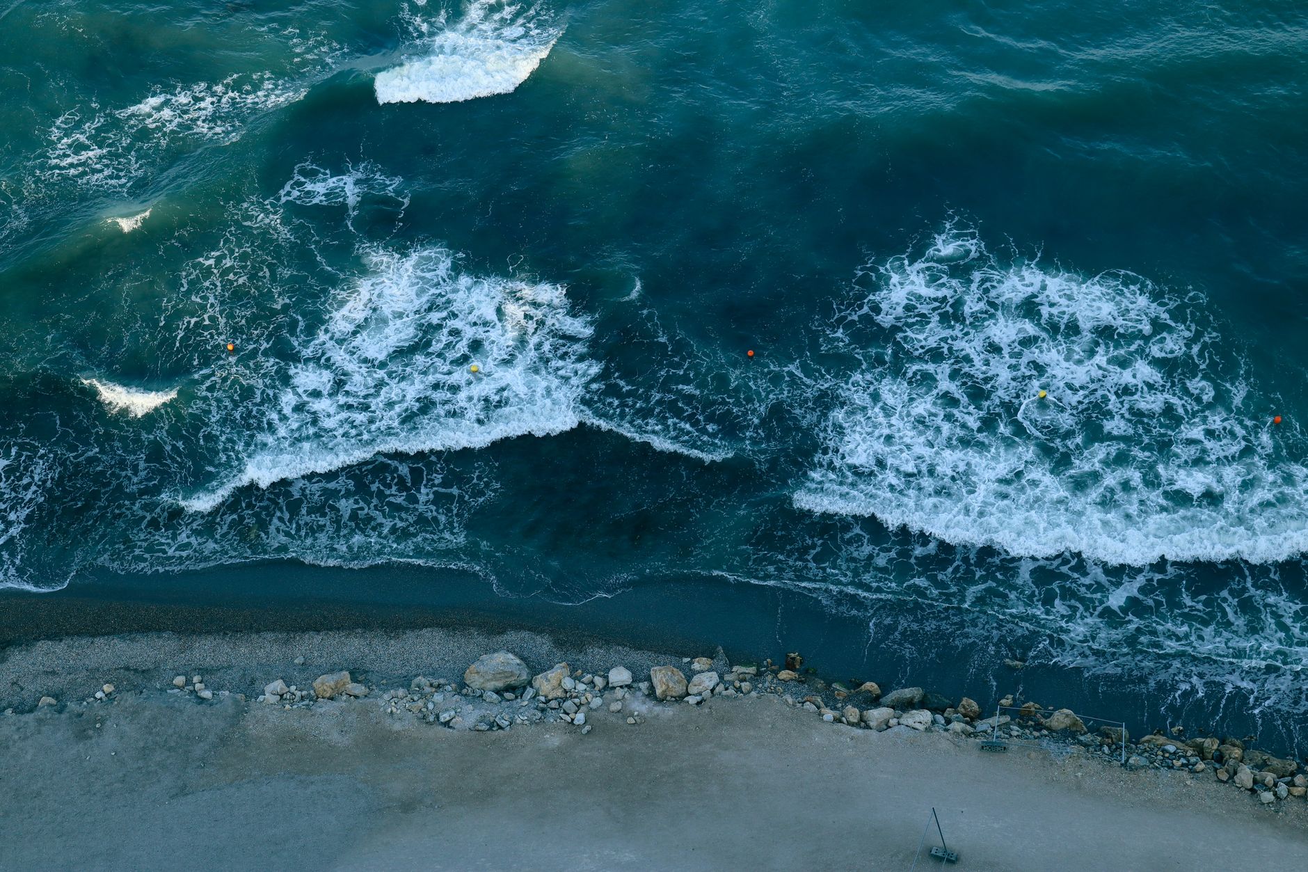
- Topographic Protection: Turtle Cove is positioned on the leeward (protected) northwestern side of Buck Island, which shields the snorkeling basin from prevailing easterly trade winds and rough ocean swells. Water inside the cove remains calm, clear, and swimmable throughout the year.
Red Flags & What to Avoid at Buck Island, St. Thomas
Red Flags & What to Avoid at Buck Island National Wildlife Refuge (Turtle Cove, St. Thomas)
Independent critique, common tourist traps, and local marine compliance advisories.
At Buck Island National Wildlife Refuge (Turtle Cove, St. Thomas), underwater clarity is highest during Morning 08:30-11:30 (15–30m). By late morning, coastal winds kick up chop and tourist activity stirs bottom sediments, cutting visibility significantly. Resident sea turtles typically retreat to deeper resting ledges once human traffic peaks.
Reaching Buck Island National Wildlife Refuge (Turtle Cove, St. Thomas) requires vessel transit. Avoid booking unregulated freelance boats that lack emergency marine VHF radios, licensed skippers, lifejackets, and insurance. Only book vetted operators with certified guides to ensure safe mooring and eco-compliant operations.
Wild sea turtles at Buck Island National Wildlife Refuge (Turtle Cove, St. Thomas) are protected by national marine sanctuaries. US Fish & Wildlife Service (USFWS) Mandatory 10-Foot (3-Meter) Buffer from All Wildlife. Touching, cornering, riding, or feeding turtles carries severe statutory wildlife fines, immediate park ejection, and potential legal prosecution under United States Virgin Islands conservation laws.
Chemical sunscreens containing oxybenzone, octinoxate, and octocrylene poison fragile coral polyps and marine turtle nursery habitats. Use exclusively certified 100% non-nano zinc oxide mineral sunscreens or wear UPF 50+ rashguards to prevent sunscreen wash-off in the protected reef zone.
Frequently Asked Questions & Direct Choice Field Guide
Guided Tour vs Independent Shore Snorkeling in Buck Island, St. Thomas — Which should you book?
Book a guided excursion (from $119 USD) if you want guaranteed encounters, boat access to outer reefs, certified safety skippers, and high-quality snorkel gear; choose independent shore snorkeling (Free public entry) only if you are an experienced ocean swimmer equipped with your own reef-safe gear and comfortable navigating local shore breaks and current corridors.
Guided tours provide dedicated spotters who know current turtle feeding clusters, whereas independent snorkelers often waste hours searching murky shallows.
Early Morning vs Midday Snorkeling — When is turtle sighting probability highest?
Go during Morning 08:30-11:30, which delivers an optimal 97% sighting probability and crystal 15–30m underwater visibility before offshore trade winds churn bottom sediments and tourist crowds arrive.
After 11:00 AM, heavy boat traffic and hundreds of recreational swimmers stir up fine silt, reducing underwater clarity by up to 50% and driving grazing turtles into deeper offshore trenches.
Peak Season (January, February, March) vs Shoulder Months — When are water conditions best?
Visit during January, February, March for peak feeding activity, minimal rainfall, and warm sea temperatures ranging from 26°C to 29°C.
While resident sea turtles inhabit Buck Island, St. Thomas year-round, booking morning excursions during peak months ensures calm surface conditions, though reserving tour slots 2–3 weeks ahead is essential to avoid sold-out capacity limits.
What are the statutory wildlife distance rules and legal penalties in United States Virgin Islands?
Swimmers must maintain a strict minimum 3-meter (10-foot) buffer from all sea turtles at all times under United States Virgin Islands marine conservation laws.
Touching, riding, pursuing, or cornering a turtle is a serious wildlife violation carrying steep statutory fines, immediate ejection from the marine sanctuary, and potential criminal prosecution. Always float neutrally with your arms crossed across your chest and allow turtles an unobstructed 45-degree surfacing corridor to breathe.
Where do Buck Island, St. Thomas turtle tours depart from, and how do you reach the reef?
Most verified excursions depart directly from local harbor docks or designated beach kiosks near STT airport, with reef access centered around GPS coordinates 18.2789, -64.8972.
If traveling independently by rental car or taxi, arrive at least 30 minutes before your scheduled departure to secure parking and complete mandatory marine sanctuary registration.